01
Geospatial analysis and monitoring
Where should we intervene first?
We combine satellite imagery and territorial data to identify changes, assess risks and monitor assets.
ScopeAsset monitoring and territorial prioritization.
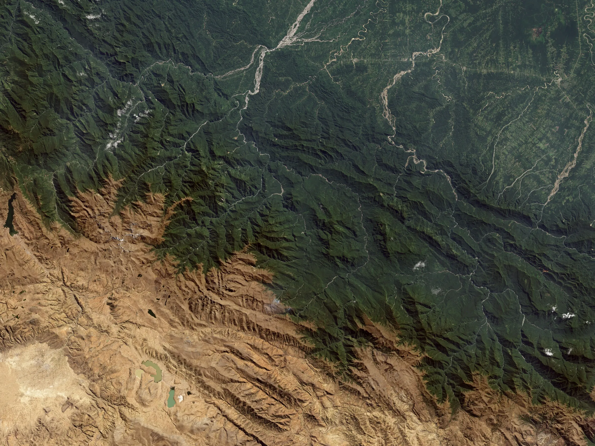
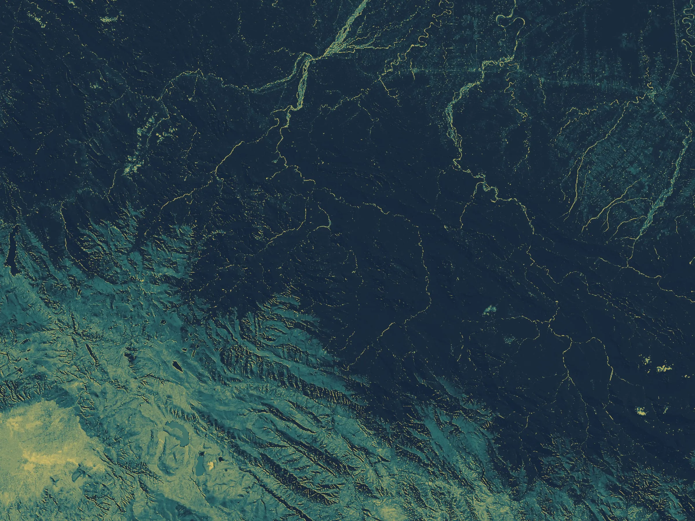
Analytical reading
Geospatial consulting
We analyze satellite imagery and information about your assets to detect changes, assess risks and decide where to act in energy, infrastructure and climate projects.
Sectors
The ASTRO perspective
The decision is a business one. The evidence is in the territory. We combine geospatial analysis, artificial intelligence and strategic insight to understand risks, plan interventions and support decisions.
Capabilities
Geospatial data describes what is in a place and how it changes. We analyze it to answer questions about your projects, assets and their surroundings.
01
Where should we intervene first?
We combine satellite imagery and territorial data to identify changes, assess risks and monitor assets.
ScopeAsset monitoring and territorial prioritization.
02
What is worth automating in the analysis?
Models that recognize features in images, detect changes and support inspections, when the data volume justifies it.
ScopeChange detection and assisted inspection.
03
How do we back up climate impact?
Satellite evidence to track change in the territory and support measurement, reporting and verification.
ScopeDigital monitoring and evidence for MRV.
04
How do we plan better-informed infrastructure?
We analyze terrain and assets to compare transmission routes, assess risks and plan network monitoring.
ScopeRoutes, territorial risk and network monitoring.
05
Where is sargassum building up near the coast?
We detect and track sargassum mats at sea with satellite imagery to support cleanup and containment planning along the coast.
View serviceIf your question doesn't fit these categories, tell us anyway.
Let's talkApproach
We start with a specific question, not a tool. We select the data and analysis needed to answer it and make their limitations clear.
We define what you need to know: where risks lie, what has changed, or which area to assess. We review available data and agree on the scope.
We combine satellite imagery, sensor data and information about your assets. We document sources, dates and what needs field validation.
We explain findings through maps, reports or dashboards, depending on the project, so you can compare options, prioritize action and track changes.
Rigor
Every deliverable explains where the data comes from, when it was captured and how reliable each conclusion is.
Every map states its source and capture date so the result can be reviewed and repeated.
We separate what the data confirms from what it only suggests, and say so in the report.
We flag what needs on-the-ground verification before a decision is made.
Analytical reading
Landsat 7 · NASA Earth Observatory
Contact
Tell us what you need to assess, where your project is and what information you have. We help define what geospatial analysis can answer and which data is still needed.
Direct contact